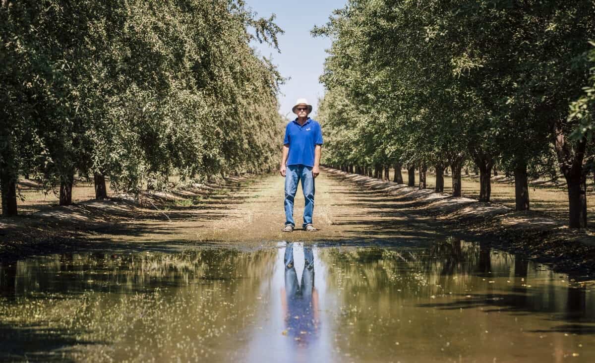

Tom Frantz on his almond grove in Shafter, California. (Photo: Jonas Jungblut)
In the winter of 2001, Tom Frantz and a friend were cruising in his pick-up truck along a stretch of Highway 33 in Kern County, California. Known as the Petroleum Highway, this particular stretch of the roadway cuts across some of the state’s largest oil fields. Frantz, a mustachioed man whose wispy white hair is usually hidden beneath a beige fedora, was born and raised in Kern County; he was used to seeing pumpjacks bobbing up and down on the west side of the region, but on this cool winter day, a plume of steam in the distance caught his eye.
Frantz turned onto an unmarked, dirt road to get closer to the source. A quarter-mile off the highway, he came upon at least a dozen massive, earth-banked ponds swirling with hot, discolored water, their banks rimmed with what looked and smelled like slick, black oil. The row of ponds stretched out a half-mile to the west. Feeling overwhelmed by the odious reek of the tar, Frantz snapped a few pictures of the ponds and headed back to his home in Shafter, one of the tiny cities within Kern County.
In the following days and weeks, Frantz began asking family members, friends, and everyone he knew who worked in the oil fields about the ponds.
Through those conversations, Frantz learned that the foul-smelling ponds he’d stumbled upon were, in fact, a system of interconnected pools in which oil operators were disposing of what’s known in the industry as “produced water” — the water operators bring to the surface along with oil that’s laced with both naturally occurring contaminants and industry chemicals used during drilling or extraction operations.
For every barrel of oil pulled from the ground in California, operators produce about 17 barrels of water on average.
Operators have several options for disposing of produced water: They can clean it up and reuse it for enhanced oil recovery techniques like cyclic steaming or for agriculture irrigation, inject it back underground into aquifers not used for drinking water, or dump it in ponds designed to let percolation or evaporation run its course. Percolation ponds are by far the most economical option for oil operators.
Frantz, an avid environmentalist and farmer (and a math teacher at that time), couldn’t stop thinking about the ponds. “The smell of oil was so strong when you got close to those ponds, I knew those emissions were adding to our air pollution,” Frantz says. Just a few years earlier, Frantz had co-founded a grassroots air quality group called the Association of Irritated Residents in 1998. “I started trying to figure out where all these ponds were, how much of it was going on,” he says. “A few years later I did get ahold of a good satellite map.”
Using Google Earth, Frantz saw the full extent of the ponds for the first time: scores of long, narrow pools laid out in neat rows. From his home computer, Frantz converted the length and width of the ponds on the screen to square feet and acres. Frantz wanted to see if […]
Full article: California’s Looming Water Pollution Problem
Sinking land, poisoned water: the dark side of California’s mega farms
First-ever water tax proposed to tackle unsafe drinking water in California
How Water Gets From the Sierra Nevada Mountains to Los Angeles
California’s water wars heat up at Sacramento hearing over river flows
San Joaquin Valley’s contaminated water is like “third world country”
California’s Can’t-Miss Chance to Provide Safe Drinking Water for All
Clean water is essential for life, yet millions of Americans unknowingly consume contaminants through their…
Human brains contain higher concentrations of microplastics than other organs, according to a new study, and the…
From the Office of the Governor: In anticipation of a multi-day, significant atmospheric river in Northern California,…
From Governor Newsom: Scientists, water managers, state leaders, and experts throughout the state are calling…
Photo: A harmful algal bloom in Milford Lake, Kansas, made the water appear bright green.…
An expanded plastic foam coffee cup is at a donut shop in Monterey Park, California.…