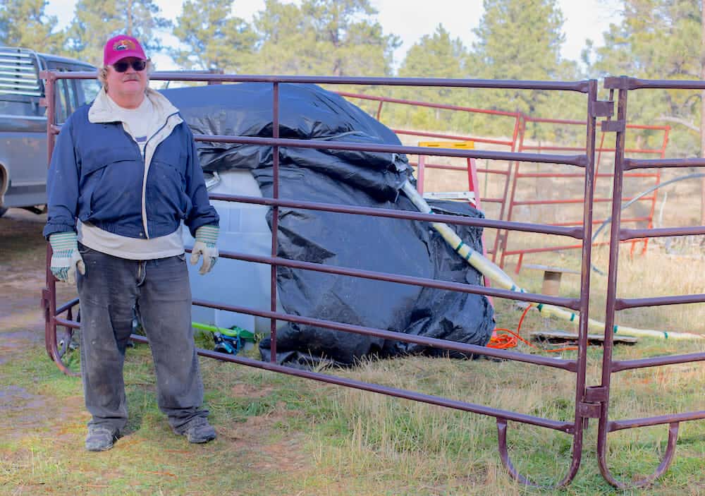

Michael Cranston’s family has ranched in Carlile since 1904. The rolling pine- and spruce-dotted Black Hills make Carlile — a quiet crossroads community between Moorcroft and Devil’s Tower — far more hospitable than the hardscrabble sagebrush plains stretching west toward Wyoming’s coal capital, Gillette.
Also attractive to Cranston and his ancestors was a seemingly bountiful underground asset – potable groundwater. They weren’t the only ones to notice. In the early 1980s, the city of Gillette, which then numbered only 12,134 residents, came calling.
Officials knew they couldn’t support a coming coal boom with the meager aquifer underlying that fledgling metropolis. So Gillette reached east to the Madison limestone formation underlying Carlile. It spent $23 million to tap into the aquifer with a pipeline some 42 miles long, according to reporting by the Gillette News Record. The project, now known as the existing Madison well field, would enable up to 35,000 Gillette residents to take carefree showers like those enjoyed by the Cranston clan.
But Gillette’s regional population kept booming. More than 37,000 people live there today — and water supplies “are dwindling,” city officials say. To meet rising demand the state approved a $41 million down payment between […]
Full article: Did a huge Gillette water project frack-up rural wells?
Clean water is essential for life, yet millions of Americans unknowingly consume contaminants through their…
Human brains contain higher concentrations of microplastics than other organs, according to a new study, and the…
From the Office of the Governor: In anticipation of a multi-day, significant atmospheric river in Northern California,…
From Governor Newsom: Scientists, water managers, state leaders, and experts throughout the state are calling…
Photo: A harmful algal bloom in Milford Lake, Kansas, made the water appear bright green.…
An expanded plastic foam coffee cup is at a donut shop in Monterey Park, California.…