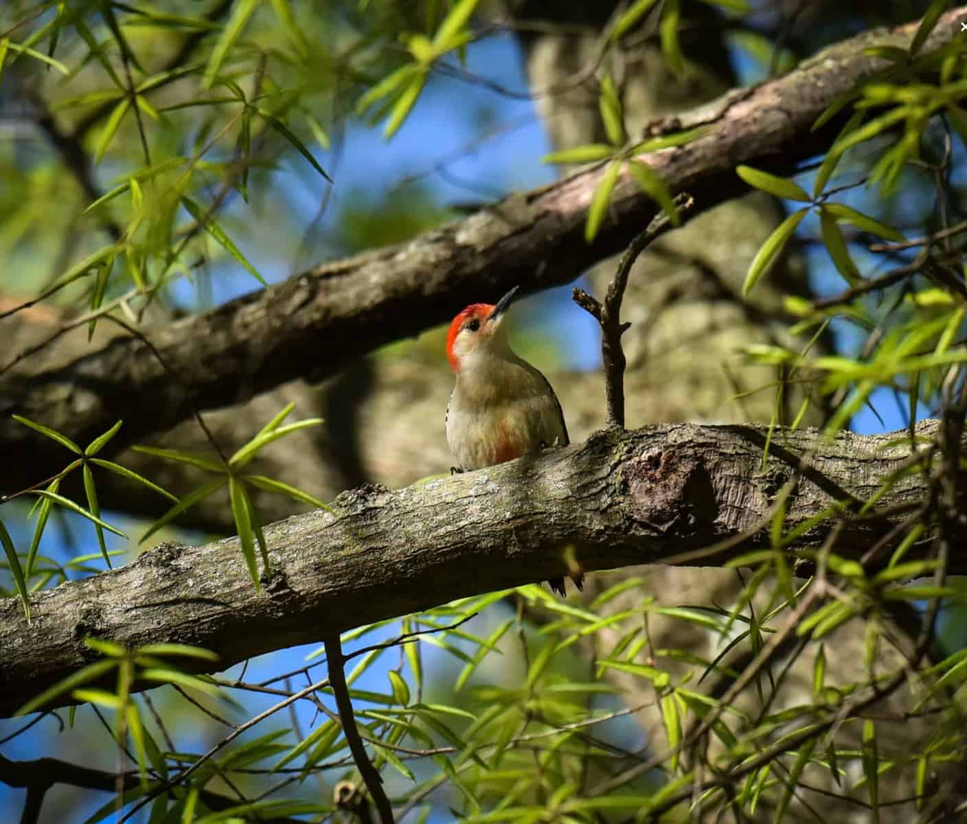

Photo: A red-bellied woodpecker in the District’s Rock Creek Park. The eBird Project blends birdwatchers’ sightings with satellite photos and data about many species. The combination produces precise digital maps predicting when and where threatened and endangered birds migrate. (Bill O’Leary/The Washington Post)
For years, as California’s Central Valley grew into the nation’s leading agricultural corridor, the region gradually lost almost all of the wetlands that birds, from the tiny sandpiper to the great blue heron, depend on during their migrations along the West Coast.
But a dramatic turnaround is underway in the valley. Dozens of farmers leave water on their fields for a few extra weeks each season to create rest stops for birds. The campaign has not only helped salvage a vital stretch of the north-south migration path called the Pacific Flyway but also tested a fresh model for protecting wildlife.
The experiment is built on new research by the Cornell Lab of Ornithology, which blends the sightings of tens of thousands of birdwatchers with satellite photos and wildlife data. The combination produces digital maps so precise that they can predict when and where birds will come through, so that farmers know when to flood their fields.
“The amount of information in these maps is way beyond what any single source or even combination of sources could give you,” said Marshall Iliff, project co-leader of Cornell’s eBird Project. “It’s on a scale that’s never been done before.”
At a time when 40 percent of the Earth’s 10,000 bird species are in decline, according to the State of the World’s Birds 2018 report, the still-developing eBird Project helps to […]
Full article: A new effort to save birds pinpoints in amazing detail where they fly
Clean water is essential for life, yet millions of Americans unknowingly consume contaminants through their…
Human brains contain higher concentrations of microplastics than other organs, according to a new study, and the…
From the Office of the Governor: In anticipation of a multi-day, significant atmospheric river in Northern California,…
From Governor Newsom: Scientists, water managers, state leaders, and experts throughout the state are calling…
Photo: A harmful algal bloom in Milford Lake, Kansas, made the water appear bright green.…
An expanded plastic foam coffee cup is at a donut shop in Monterey Park, California.…