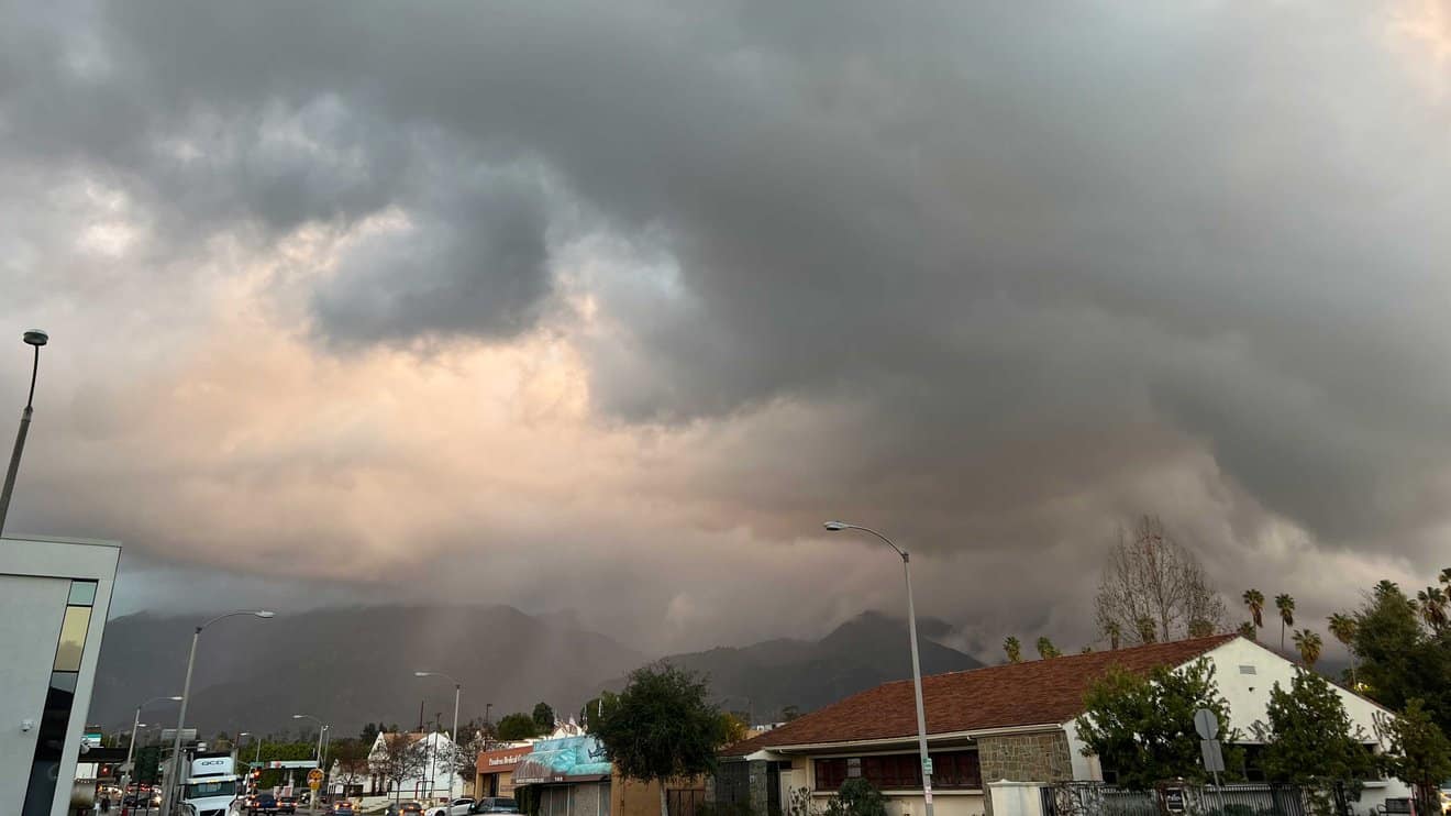

Photo: Dark clouds roil the sky above Pasadena, California, during an atmospheric river event. A series of nine such storms delivered record amounts of rain and snow to the state and caused multiple deaths between late 2022 and January 2023. Additional atmospheric rivers have inundated California since. Credit: NASA/JPL-Caltech
Atmospheric rivers – vast airborne corridors of water vapor flowing from Earth’s tropics toward higher latitudes – can steer much-needed rain to parched lands. But in extreme form, they can also cause destruction and loss of life, as recently occurred in parts of California. Their effects, both hazardous and beneficial, are felt globally.
A new study using NASA data shows that a recently developed rating system can provide a consistent global benchmark for tracking these “rivers in the sky.” Research into atmospheric rivers has largely focused on the west coasts of North America and Europe. The new findings help expand our understanding of how these storms arise, evolve, and impact communities all over the world. In addition, the ratings could help meteorologists better warn people to plan for them.
The findings also revealed an increasing number of atmospheric river events around the world and across all ranks, with peak activity in mid-latitude oceans (temperate belts roughly between 30 and 60 degrees north and south).
To help forecast the potential strength and impacts of the storms as they make landfall on the West Coast of North America, meteorologists from the Scripps Institution of Oceanography at the University of California, San Diego, along with the National Weather Service, introduced an atmospheric river (AR) scale in 2019. By ranking them from 1 to 5, or weakest to strongest, the scientists sought to differentiate between primarily beneficial storms versus primarily hazardous ones. By one estimate, insured losses due to flood damages increase by a factor of 10 with every step up in rank, with AR 5 events linked to […]
Full article: Ranking Atmospheric Rivers: New Study Finds World of Potential
Clean water is essential for life, yet millions of Americans unknowingly consume contaminants through their…
Human brains contain higher concentrations of microplastics than other organs, according to a new study, and the…
From the Office of the Governor: In anticipation of a multi-day, significant atmospheric river in Northern California,…
From Governor Newsom: Scientists, water managers, state leaders, and experts throughout the state are calling…
Photo: A harmful algal bloom in Milford Lake, Kansas, made the water appear bright green.…
An expanded plastic foam coffee cup is at a donut shop in Monterey Park, California.…