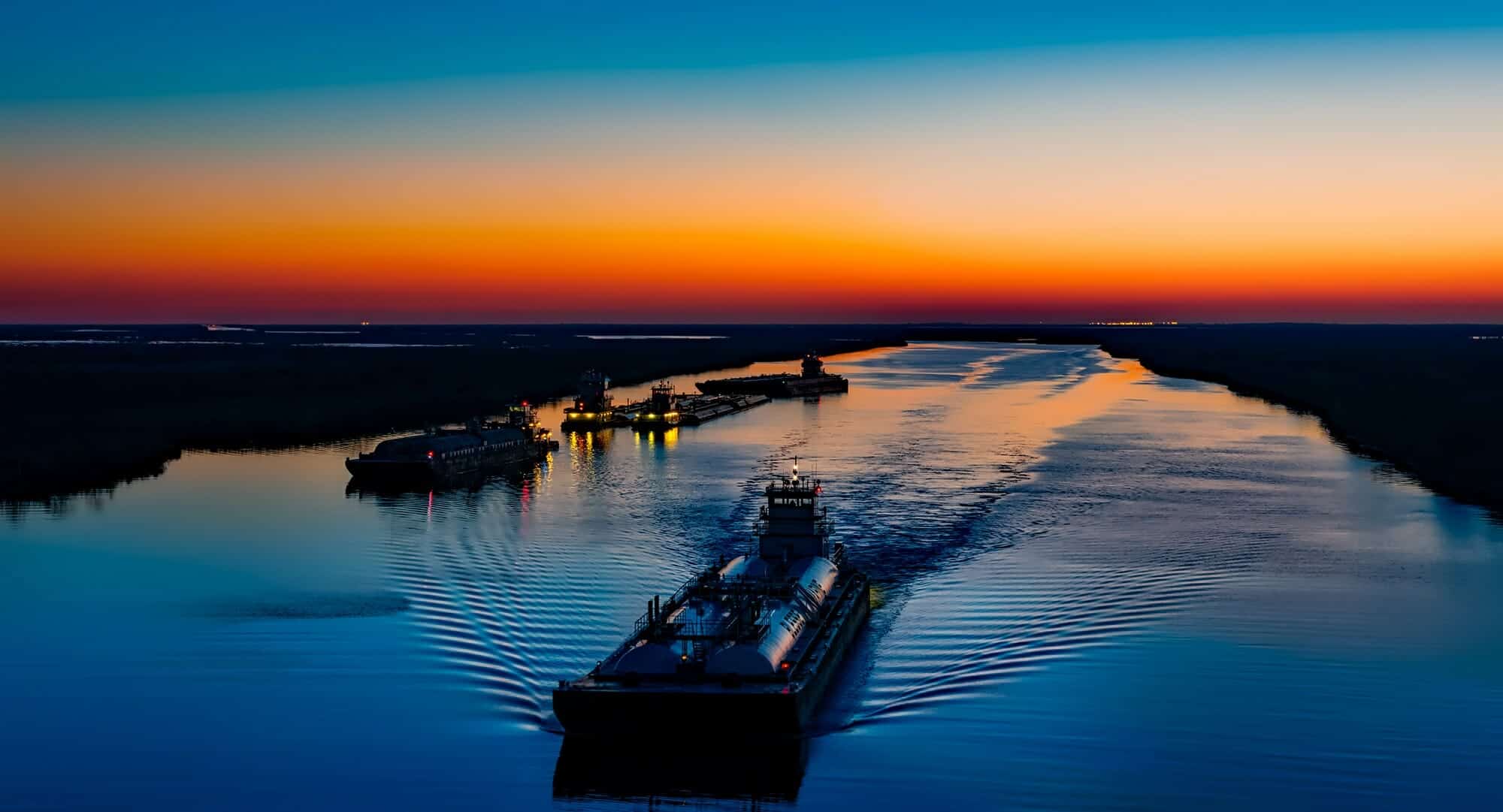
The Mississippi River was leveed in the early 20th century, specifically for the purposes of flood control and navigation. Relative to navigation, we created a world-class system. We walled the river in, hitching its power to creative engineering, the result of which has been a system which rivals any in the world.
Specifically, the five Lower Mississippi River ports handle more than 500 million tons of domestic and foreign cargo annually, including exports and imports. Together, these area ports account for 20 percent of all U.S. waterborne commerce, including 60 percent of grain and 20 percent of coal and petroleum products. It has been everything that Thomas Jefferson thought it would be when he acquired the mouth of the Mississippi River as the crown jewel of the Louisiana Purchase in 1803. But — and there always seems to be a “but” in these stories — we harnessed the Mississippi River for a navigation system in a way that planted the seeds of that system’s destruction.
Ecological impacts
When we walled in the river, we stopped the occasional — and essential — flooding of river water and sediment through the surrounding shallow bays, wetlands and coastal forests that built […]
Full article: How Can We Create a Sustainable Future for South Louisiana, Navigation and Other Industries?
More about the Coastal Master Plan and Louisiana coastal restoration solutions:
Explore the Largest Coastal Restoration Project Completed In Louisiana’s History
Louisiana Legislature Approves 2017 Coastal Master Plan
Mississippi River Sediment Diversions & Louisiana
Louisiana floods: Tool Lets You See Flood Risk to Your Home
The Great Barrier Reef of the Americas: Coastal Lessons from the Past


