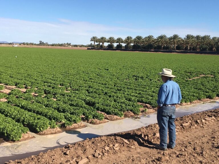
Charles Sanchez, a co-principal investigator on the study, overlooks an irrigated field in Yuma, Arizona, on Dec. 12, 2019. Yuma...
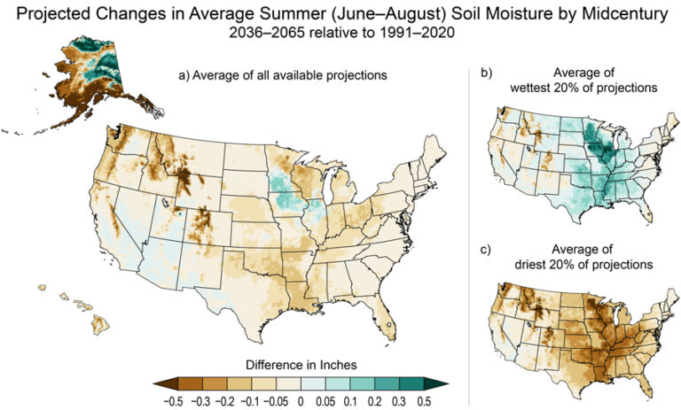
NCA5: Drought and Climate Change in 10 Maps
Map: Under an intermediate scenario, soil moisture is projected to decrease during the summer months for most of the country...
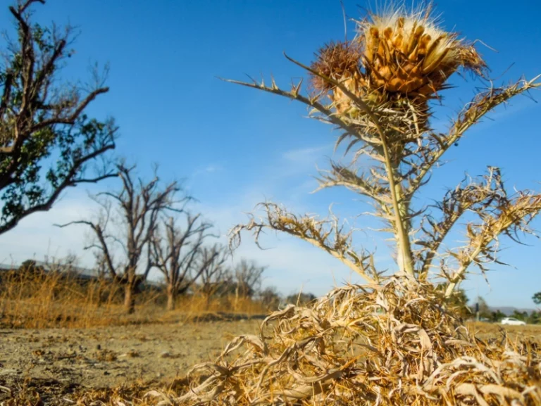
Stanford researchers create model to help farmers reduce water usage
Dried plants and parched ground are seen outside Stanford in this 2014 Daily file photo. (Photo: KATHERINE CARR/The Stanford Daily)...
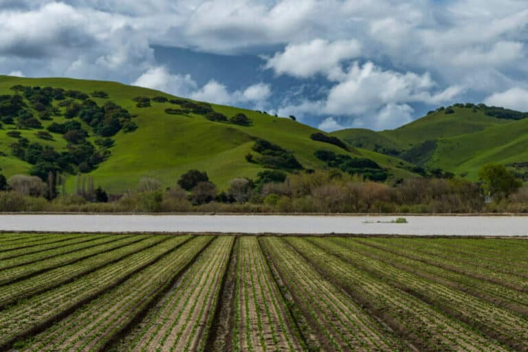
Water consumption in West captures attention of lawmakers
Photo: Floodwaters from the Salinas River fill agricultural fields in Spreckels, Calif., Monday, March 13, 2023. (Nic Coury/San Francisco Chronicle...
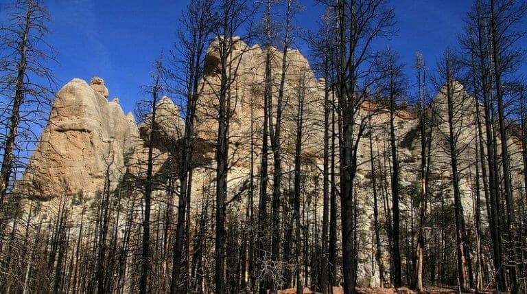
The burning question: How do wildfires impact watersheds?
Photo: Site of the Brian Head wildfire in Utah still showing clear impacts more than a year after the fire...

