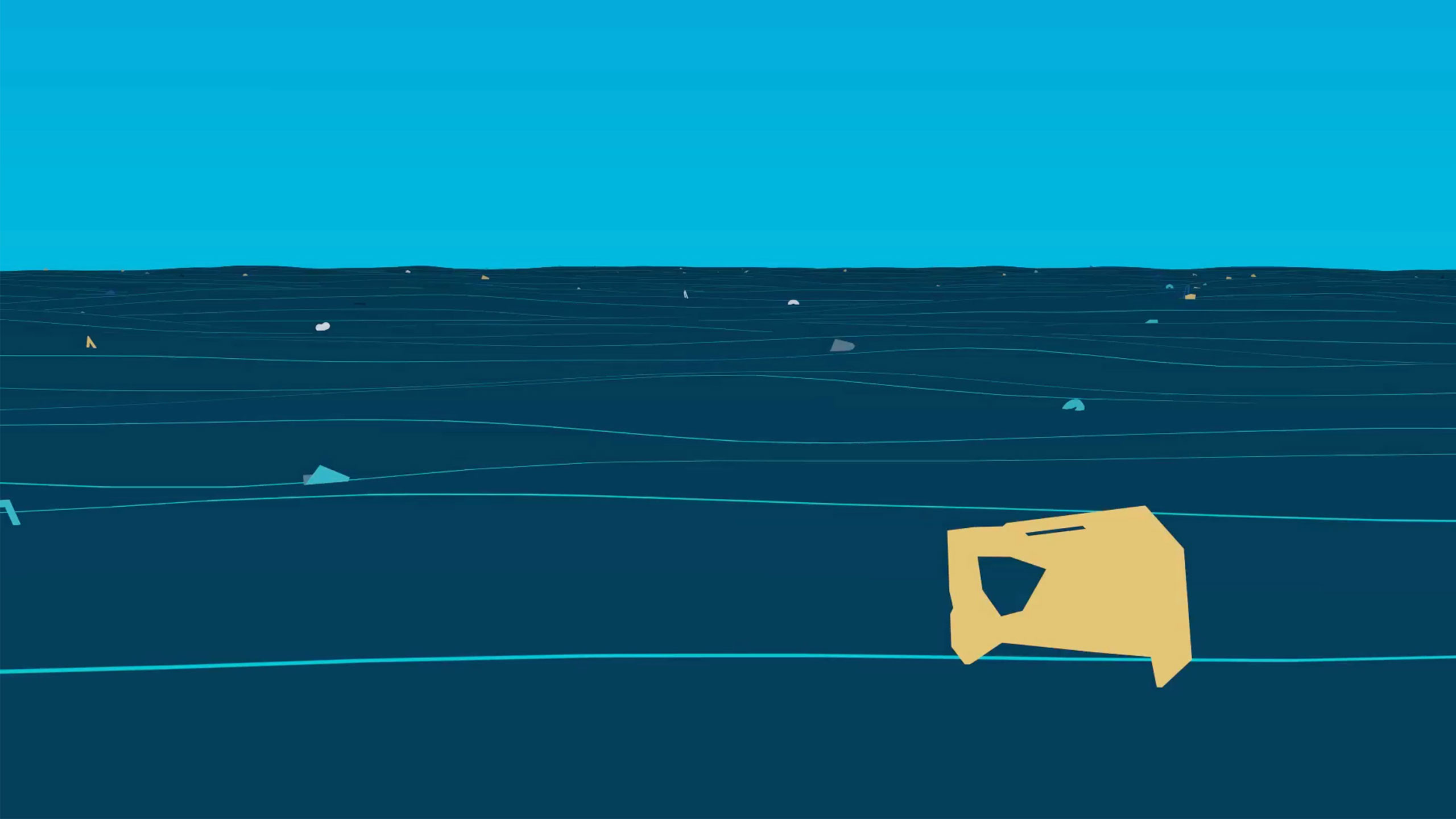

The Great Pacific Garbage Patch (GPGP) is the largest of the five offshore plastic accumulation zones in the world’s oceans. It is located halfway between Hawaii and California.
It is estimated that 1.15 to 2.41 million tonnes of plastic are entering the ocean each year from rivers. More than half of this plastic is less dense than the water, meaning that it will not sink once it encounters the sea.
1.15 TO 2.41 MILLION METRIC TONNES OF PLASTIC ARE ENTERING THE OCEAN EACH YEAR.
The stronger, more buoyant plastics show resiliency in the marine environment, allowing them to be transported over extended distances. They persist at the sea surface as they make their way offshore, transported by converging currents and finally accumulating in the patch.
Once these plastics enter the gyre, they are unlikely to leave the area until they degrade into smaller microplastics under the effects of sun, waves and marine life. As more and more plastics are discarded into the environment, microplastic concentration in the Great Pacific Garbage Patch will only continue to increase.
The GPGP covers an estimated surface area of 1.6 million square kilometers, an area twice the size of Texas or three times the size of France.
To formulate this number, the team of scientists behind this research conducted the most elaborate sampling method ever coordinated.
This consisted of a fleet of 30 boats, 652 surface nets and two flights over the patch to gather aerial imagery of the debris.
Sampling at different locations within the same time period allowed a more accurate estimate of the size of the patch and the plastic drifting in it.
Due to seasonal and interannual variabilities of winds and currents, the GPGP’s location and shape are constantly changing. Only floating objects that are predominantly influenced by currents and less by winds were likely to remain within the patch.
y simulating concentration levels in the North Pacific, the researchers were able to follow the location of the patch, demonstrating significant […]
Full article: theoceancleanup.com
Clean water is essential for life, yet millions of Americans unknowingly consume contaminants through their…
Human brains contain higher concentrations of microplastics than other organs, according to a new study, and the…
From the Office of the Governor: In anticipation of a multi-day, significant atmospheric river in Northern California,…
From Governor Newsom: Scientists, water managers, state leaders, and experts throughout the state are calling…
Photo: A harmful algal bloom in Milford Lake, Kansas, made the water appear bright green.…
An expanded plastic foam coffee cup is at a donut shop in Monterey Park, California.…